Wilton Park wall
Introduction
The photograph on this page of Wilton Park wall by Derek Harper as part of the Geograph project.
The Geograph project started in 2005 with the aim of publishing, organising and preserving representative images for every square kilometre of Great Britain, Ireland and the Isle of Man.

There are currently over 7.5m images from over 14,400 individuals and you can help contribute to the project by visiting https://www.geograph.org.uk
Wilton Park wall
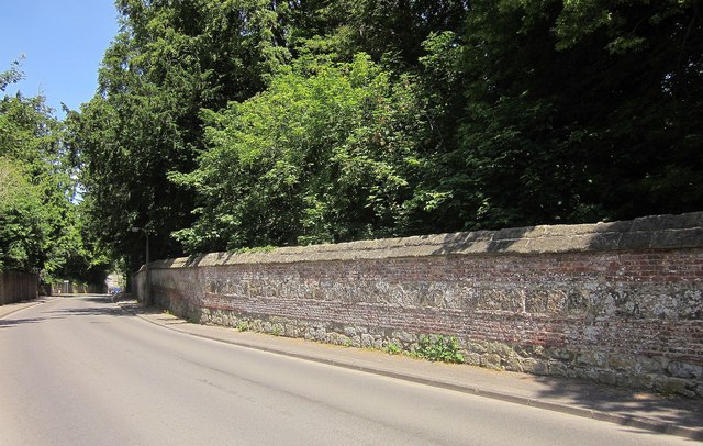
Image: © Derek Harper Taken: 19 Jun 2014
Seen on South Street opposite the junction with Bulbridge Road. The wall i listed http://www.britishlistedbuildings.co.uk/en-319343-park-walls-to-south-and-west-south-of-ri . "Ordered by 9th Earl of Pembroke to be built "after the Roman fashion" of large rubble blocks with wide brick bands and weathered stone capping."
Images are licensed for reuse under creativecommons.org/licenses/by-sa/2.0
Image Location
Latitude
51.073574
Longitude
-1.868635