Key Green, Cheshire
Introduction
The photograph on this page of Key Green, Cheshire by John Robinson as part of the Geograph project.
The Geograph project started in 2005 with the aim of publishing, organising and preserving representative images for every square kilometre of Great Britain, Ireland and the Isle of Man.

There are currently over 7.5m images from over 14,400 individuals and you can help contribute to the project by visiting https://www.geograph.org.uk
Key Green, Cheshire
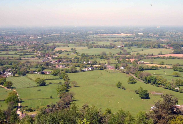
Image: © John Robinson Taken: 2 May 2007
Fields sloping down from The Cloud to the hamlet of Key Green. Key Green Methodist Church is the brick building in an enclosed part of the big field. In the distance above is Eaton Hall sand quarry Image, at two o'clock from which is the Jodrell Bank Radio Telescope Image in the sub-horizon haze.
Images are licensed for reuse under creativecommons.org/licenses/by-sa/2.0
Image Location
Latitude
53.1703
Longitude
-2.164512