Redevelopment of the former Hammill Brick Works
Introduction
The photograph on this page of Redevelopment of the former Hammill Brick Works by John Baker as part of the Geograph project.
The Geograph project started in 2005 with the aim of publishing, organising and preserving representative images for every square kilometre of Great Britain, Ireland and the Isle of Man.

There are currently over 7.5m images from over 14,400 individuals and you can help contribute to the project by visiting https://www.geograph.org.uk
Redevelopment of the former Hammill Brick Works
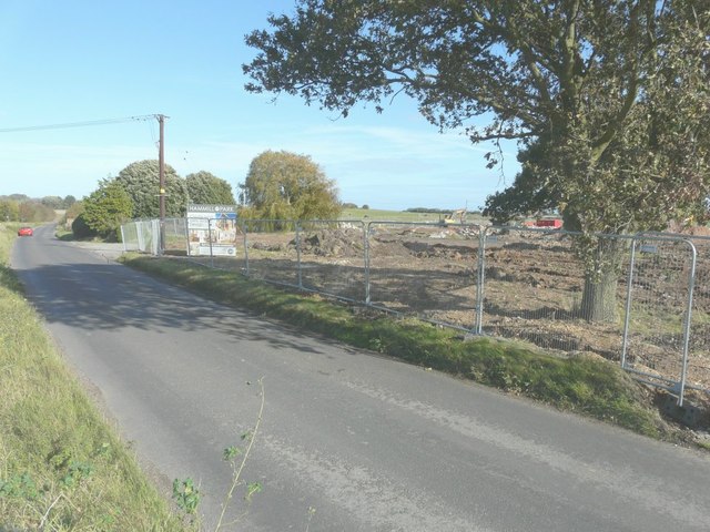
Image: © John Baker Taken: 19 Oct 2014
Planning permission was granted by Dover District Council under application number DOV/12/00450, for “(A) Full application for change of use and conversion of two engine sheds to six live/work units and (B) Outline application for the erection of nineteen dwellings of B1(c) accommodation, construction of vehicular access, associated car parking and landscaping (existing buildings/structures to be demolished)”. All the buildings have been demolished with the exception of the two engine sheds mentioned above. Even this Image has disappeared, formerly situated near to this location. The development of the site, which has been named Hammill Park, is being managed by Quinn Estates http://quinn-estates.com/future-developments#current-projects/hammill-brickworks
Images are licensed for reuse under creativecommons.org/licenses/by-sa/2.0
Image Location


Leaflet Map data © OpenStreetMap
Latitude
51.255828
Longitude
1.285956