The Mount, Isle of Sheppey
Introduction
The photograph on this page of The Mount, Isle of Sheppey by David Purchase as part of the Geograph project.
The Geograph project started in 2005 with the aim of publishing, organising and preserving representative images for every square kilometre of Great Britain, Ireland and the Isle of Man.

There are currently over 7.5m images from over 14,400 individuals and you can help contribute to the project by visiting https://www.geograph.org.uk
The Mount, Isle of Sheppey
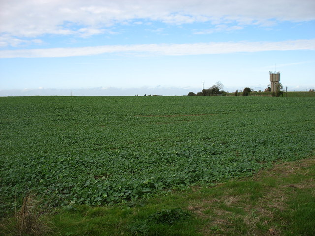
Image: © David Purchase Taken: 19 Oct 2014
This field of crops, all of 76m (249') high, is the highest point of the Isle of Sheppey. Its name, The Mount, is perhaps somewhat generous to its status. Though I like to visit the summit of each island I visit, I did not feel it necessary to trespass across these crops to gain the last metre or so.
Images are licensed for reuse under creativecommons.org/licenses/by-sa/2.0
Image Location
Latitude
51.414835
Longitude
0.832321