The map shows a track down here
Introduction
The photograph on this page of The map shows a track down here by Chris Morgan as part of the Geograph project.
The Geograph project started in 2005 with the aim of publishing, organising and preserving representative images for every square kilometre of Great Britain, Ireland and the Isle of Man.

There are currently over 7.5m images from over 14,400 individuals and you can help contribute to the project by visiting https://www.geograph.org.uk
The map shows a track down here
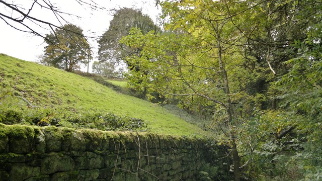
Image: © Chris Morgan Taken: 20 Oct 2014
But no wheeled traffic has passed through for many years, and few two legged travellers can have done either!
Images are licensed for reuse under creativecommons.org/licenses/by-sa/2.0
Image Location
Latitude
53.162797
Longitude
-1.567411