River Whipling
Introduction
The photograph on this page of River Whipling by Derek Harper as part of the Geograph project.
The Geograph project started in 2005 with the aim of publishing, organising and preserving representative images for every square kilometre of Great Britain, Ireland and the Isle of Man.

There are currently over 7.5m images from over 14,400 individuals and you can help contribute to the project by visiting https://www.geograph.org.uk
River Whipling
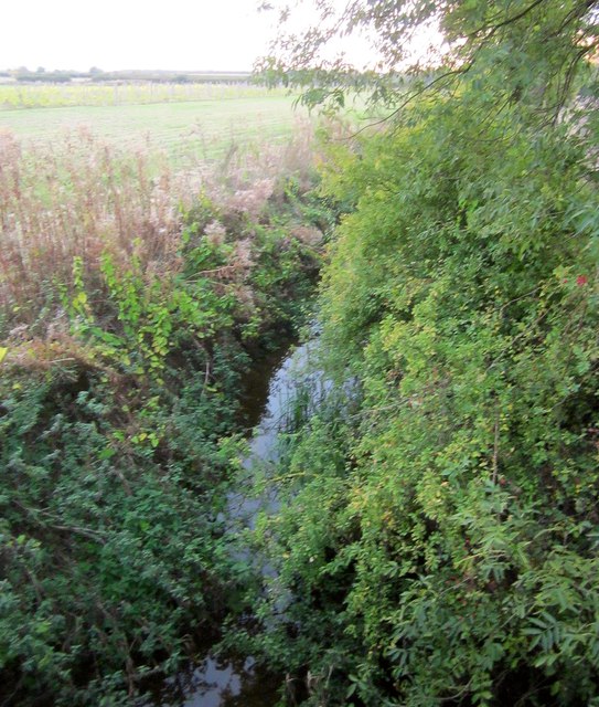
Image: © Derek Harper Taken: 11 Oct 2014
Looking upstream. The river is a parish boundary, so the track from which this is taken (in a darkening light at the end of the day) carries Langar Cum Barnstone bridleway 1 to my right, but Granby bridleway 12 to my left. In addition, Granby footpath 16 runs along the left side of the river (which of course would be the right bank!).
Images are licensed for reuse under creativecommons.org/licenses/by-sa/2.0
Image Location
Latitude
52.9235
Longitude
-0.898066