Barns on Crookthorn Lane
Introduction
The photograph on this page of Barns on Crookthorn Lane by Robin Webster as part of the Geograph project.
The Geograph project started in 2005 with the aim of publishing, organising and preserving representative images for every square kilometre of Great Britain, Ireland and the Isle of Man.

There are currently over 7.5m images from over 14,400 individuals and you can help contribute to the project by visiting https://www.geograph.org.uk
Barns on Crookthorn Lane
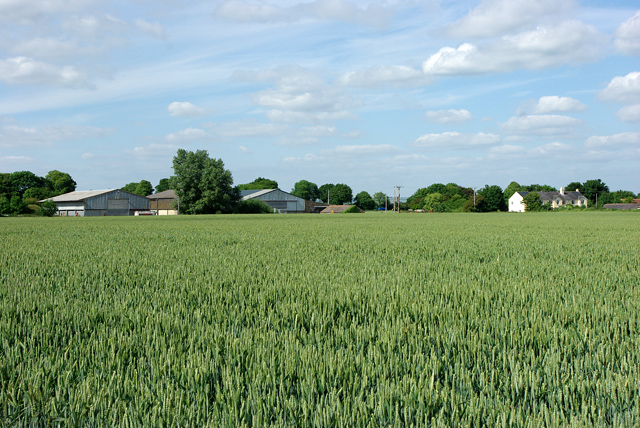
Image: © Robin Webster Taken: 20 Jun 2010
Sadlers Cottage is to the right. The barns, which are on the far side of the lane, probably belong to Kents Farm, part of which is just showing at the extreme right, on the near side of the lane. Sadlers Cottage was formerly mapped as Kents Cottages.
Images are licensed for reuse under creativecommons.org/licenses/by-sa/2.0
Image Location
Latitude
50.807207
Longitude
-0.573335