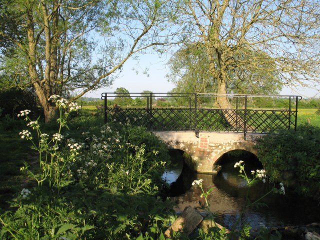
Bridge over bridleway
Introduction
The photograph on this page of Bridge over bridleway by Doug Lee as part of the Geograph project.
The Geograph project started in 2005 with the aim of publishing, organising and preserving representative images for every square kilometre of Great Britain, Ireland and the Isle of Man.
There are currently over 7.5m images from over 14,400 individuals and you can help contribute to the project by visiting https://www.geograph.org.uk

Image: © Doug Lee Taken: 2 May 2007
The bridge takes a well travelled bridleway across this brook. At the time the image was taken the surrounding area is a riot of yellow: the fields in the background are covered in buttercups whilst those to the immediate north contain oilseed rape. It should be noted that the Ordnance Survey 1:50000 map puts this crossing well within ST9758 whereas the GPS is convinced that the northern boundary of this grid square is on the left edge of the image.

