Hartshill Hayes Country Park
Introduction
The photograph on this page of Hartshill Hayes Country Park by Stephen McKay as part of the Geograph project.
The Geograph project started in 2005 with the aim of publishing, organising and preserving representative images for every square kilometre of Great Britain, Ireland and the Isle of Man.

There are currently over 7.5m images from over 14,400 individuals and you can help contribute to the project by visiting https://www.geograph.org.uk
Hartshill Hayes Country Park
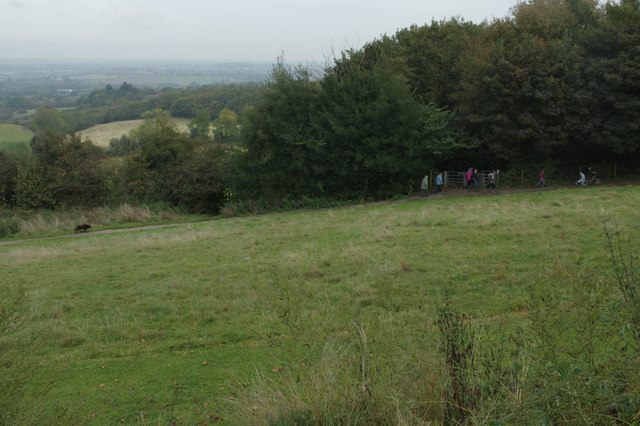
Image: © Stephen McKay Taken: 12 Oct 2014
Most of the park is wooded, but there is also this open area with a view across the Anker valley.
Images are licensed for reuse under creativecommons.org/licenses/by-sa/2.0
Image Location


Leaflet Map data © OpenStreetMap
Latitude
52.547794
Longitude
-1.5344