Marischal Street, Aberdeen (east side)
Introduction
The photograph on this page of Marischal Street, Aberdeen (east side) by Bill Harrison as part of the Geograph project.
The Geograph project started in 2005 with the aim of publishing, organising and preserving representative images for every square kilometre of Great Britain, Ireland and the Isle of Man.

There are currently over 7.5m images from over 14,400 individuals and you can help contribute to the project by visiting https://www.geograph.org.uk
Marischal Street, Aberdeen (east side)
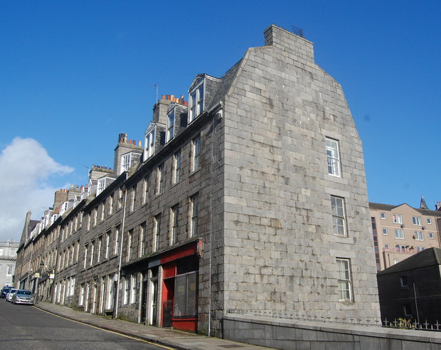
Image: © Bill Harrison Taken: 18 Oct 2014
The B-listed houses (see: http://data.historic-scotland.gov.uk/pls/htmldb/f?p=2200:15:0::::BUILDING:20428 ) on the sharply-sloping street connecting the Castlegate and the harbour date from the mid-18th Century.
Images are licensed for reuse under creativecommons.org/licenses/by-sa/2.0
Image Location
Latitude
57.147282
Longitude
-2.093026