Cardurnock
Introduction
The photograph on this page of Cardurnock by Stephen McKay as part of the Geograph project.
The Geograph project started in 2005 with the aim of publishing, organising and preserving representative images for every square kilometre of Great Britain, Ireland and the Isle of Man.

There are currently over 7.5m images from over 14,400 individuals and you can help contribute to the project by visiting https://www.geograph.org.uk
Cardurnock
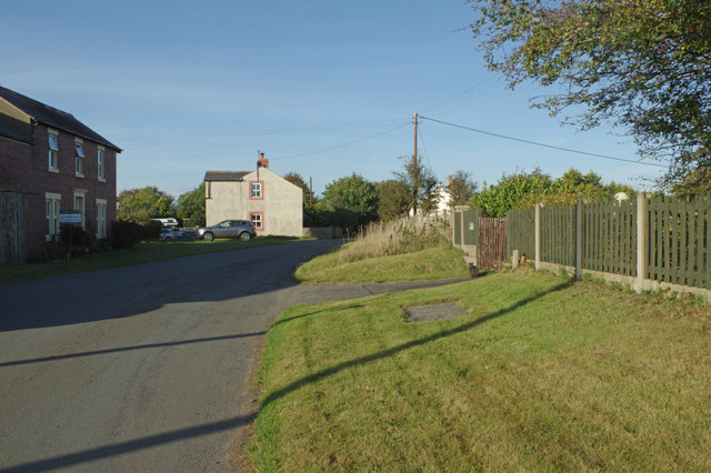
Image: © Stephen McKay Taken: 2 Oct 2014
The coast road between Anthorn and Bowness passes through this hamlet just to the north west of the Anthorn Radio Station site.
Images are licensed for reuse under creativecommons.org/licenses/by-sa/2.0
Image Location
Latitude
54.917104
Longitude
-3.292629