Broomfield Road
Introduction
The photograph on this page of Broomfield Road by Marathon as part of the Geograph project.
The Geograph project started in 2005 with the aim of publishing, organising and preserving representative images for every square kilometre of Great Britain, Ireland and the Isle of Man.

There are currently over 7.5m images from over 14,400 individuals and you can help contribute to the project by visiting https://www.geograph.org.uk
Broomfield Road
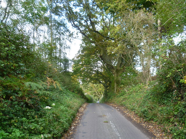
Image: © Marathon Taken: 18 Oct 2014
Broomfield Road follows the eastern side of Leeds Castle Park and leads from the A20 (Ashford Road) to the tiny hamlet of Broomfield on the other side of the River Len. This view is between the Len and Ashford Road where Broomfield Road is leading uphill out of the Len Valley.
Images are licensed for reuse under creativecommons.org/licenses/by-sa/2.0
Image Location
Latitude
51.246172
Longitude
0.637082