Private farm lane leading south from the Shaughan Road
Introduction
The photograph on this page of Private farm lane leading south from the Shaughan Road by Eric Jones as part of the Geograph project.
The Geograph project started in 2005 with the aim of publishing, organising and preserving representative images for every square kilometre of Great Britain, Ireland and the Isle of Man.

There are currently over 7.5m images from over 14,400 individuals and you can help contribute to the project by visiting https://www.geograph.org.uk
Private farm lane leading south from the Shaughan Road
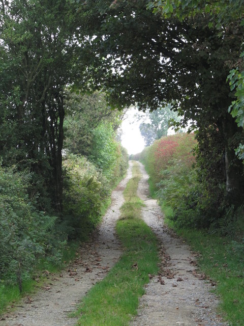
Image: © Eric Jones Taken: 12 Sep 2014
The lane climbs up the slopes of Annacloghmullin Mountain emerging on to the Annacloghmullin mountain road. Image]
Images are licensed for reuse under creativecommons.org/licenses/by-sa/2.0
Image Location
Latitude
54.170843
Longitude
-6.489572