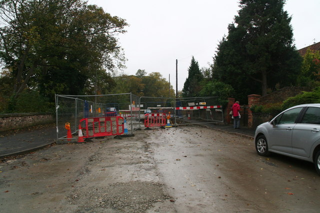
Louth: replacing the sewers in Ramsgate Road
Introduction
The photograph on this page of Louth: replacing the sewers in Ramsgate Road by Chris as part of the Geograph project.
The Geograph project started in 2005 with the aim of publishing, organising and preserving representative images for every square kilometre of Great Britain, Ireland and the Isle of Man.
There are currently over 7.5m images from over 14,400 individuals and you can help contribute to the project by visiting https://www.geograph.org.uk

Image: © Chris Taken: 18 Oct 2014
The road runs alongside the River Lud, and is often subject to flooding, which I believe this work should alleviate. It has been on-going now for 6 months, and another 6 months to go, with the road blocked and a diversion necessary up Newbridge Hill, where the ABM Malt Kiln is being demolished - also requiring road closures. Meanwhile residents of Ramsgate Road have at times not been able to get their cars into their drives, though they say the workmen have been as helpful as possible. See also: Image
Image Location


