The Chequers pub, Great Tey
Introduction
The photograph on this page of The Chequers pub, Great Tey by Bikeboy as part of the Geograph project.
The Geograph project started in 2005 with the aim of publishing, organising and preserving representative images for every square kilometre of Great Britain, Ireland and the Isle of Man.

There are currently over 7.5m images from over 14,400 individuals and you can help contribute to the project by visiting https://www.geograph.org.uk
The Chequers pub, Great Tey
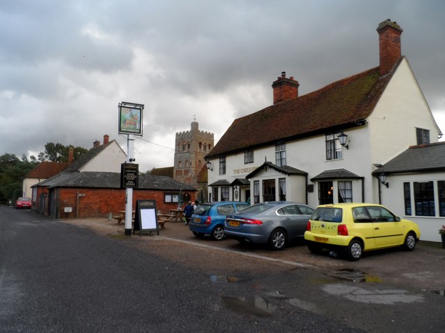
Image: © Bikeboy Taken: 11 Oct 2014
The building is late C17. See http://www.britishlistedbuildings.co.uk/en-475186-the-chequers-public-house-great-tey-esse for entry in British Listed Buildings. In the background the C12 and C14 church of St Barnabas is visible.
Images are licensed for reuse under creativecommons.org/licenses/by-sa/2.0
Image Location
Latitude
51.898738
Longitude
0.747241