Seagate, Dundee
Introduction
The photograph on this page of Seagate, Dundee by jamesnicoll as part of the Geograph project.
The Geograph project started in 2005 with the aim of publishing, organising and preserving representative images for every square kilometre of Great Britain, Ireland and the Isle of Man.

There are currently over 7.5m images from over 14,400 individuals and you can help contribute to the project by visiting https://www.geograph.org.uk
Seagate, Dundee
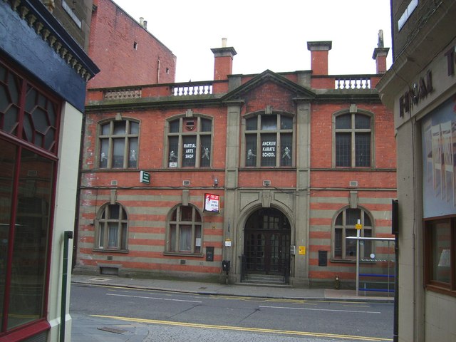
Image: © jamesnicoll Taken: 29 Apr 2007
Looking south east from Peter Street across Seagate to the site of the former Watson's Bond (destroyed by fire in July 1906).
Images are licensed for reuse under creativecommons.org/licenses/by-sa/2.0
Image Location


Leaflet Map data © OpenStreetMap
Latitude
56.462601
Longitude
-2.966849