Oystermouth Road
Introduction
The photograph on this page of Oystermouth Road by Helen as part of the Geograph project.
The Geograph project started in 2005 with the aim of publishing, organising and preserving representative images for every square kilometre of Great Britain, Ireland and the Isle of Man.

There are currently over 7.5m images from over 14,400 individuals and you can help contribute to the project by visiting https://www.geograph.org.uk
Oystermouth Road
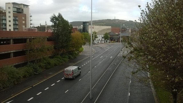
Image: © Helen Taken: 17 Oct 2014
The main A4067 running through Swansea with the St David's car park to the left.
Images are licensed for reuse under creativecommons.org/licenses/by-sa/2.0
Image Location
Latitude
51.617142
Longitude
-3.941493