Cressing village sign (close-up)
Introduction
The photograph on this page of Cressing village sign (close-up) by Bikeboy as part of the Geograph project.
The Geograph project started in 2005 with the aim of publishing, organising and preserving representative images for every square kilometre of Great Britain, Ireland and the Isle of Man.

There are currently over 7.5m images from over 14,400 individuals and you can help contribute to the project by visiting https://www.geograph.org.uk
Cressing village sign (close-up)
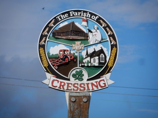
Image: © Bikeboy Taken: 11 Oct 2014
Pictured in the sign are the Knights Templar barns (see http://www.geograph.org.uk/photo/255587 ), a Knight, agricultural activity and All Saints Church.
Images are licensed for reuse under creativecommons.org/licenses/by-sa/2.0
Image Location
Latitude
51.853048
Longitude
0.592989