Northern boundary of Gobowen
Introduction
The photograph on this page of Northern boundary of Gobowen by Jaggery as part of the Geograph project.
The Geograph project started in 2005 with the aim of publishing, organising and preserving representative images for every square kilometre of Great Britain, Ireland and the Isle of Man.

There are currently over 7.5m images from over 14,400 individuals and you can help contribute to the project by visiting https://www.geograph.org.uk
Northern boundary of Gobowen
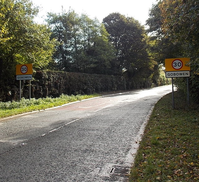
Image: © Jaggery Taken: 16 Oct 2014
The B5009 Chirk Road reaches Gobowen, a large village in NW Shropshire. The National Speed Limit reduces to 30mph ahead.
Images are licensed for reuse under creativecommons.org/licenses/by-sa/2.0
Image Location


Leaflet Map data © OpenStreetMap
Latitude
52.900853
Longitude
-3.040767