Woodlawn Street and Bexley Street
Introduction
The photograph on this page of Woodlawn Street and Bexley Street by Richard Law as part of the Geograph project.
The Geograph project started in 2005 with the aim of publishing, organising and preserving representative images for every square kilometre of Great Britain, Ireland and the Isle of Man.

There are currently over 7.5m images from over 14,400 individuals and you can help contribute to the project by visiting https://www.geograph.org.uk
Woodlawn Street and Bexley Street
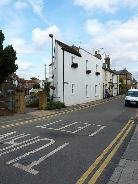
Image: © Richard Law Taken: 16 Aug 2014
A cul-de-sac of Bexley Street runs behind this white house at the north end of Woodlawn Street; the house has been built to make maximum use of the oddly-shaped plot in the angle between the roads, which is why the nearest corner appears so acute
Images are licensed for reuse under creativecommons.org/licenses/by-sa/2.0
Image Location
Latitude
51.361867
Longitude
1.026165