Tubb's Belt
Introduction
The photograph on this page of Tubb's Belt by Bob Jones as part of the Geograph project.
The Geograph project started in 2005 with the aim of publishing, organising and preserving representative images for every square kilometre of Great Britain, Ireland and the Isle of Man.

There are currently over 7.5m images from over 14,400 individuals and you can help contribute to the project by visiting https://www.geograph.org.uk
Tubb's Belt
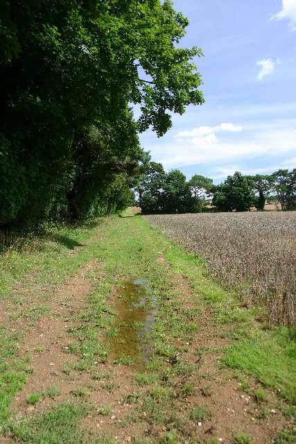
Image: © Bob Jones Taken: 23 Aug 2005
Track marked by a named line of trees, heading east across private land from the Icknield Way.
Images are licensed for reuse under creativecommons.org/licenses/by-sa/2.0
Image Location
Latitude
52.287716
Longitude
0.520349