Postbox BT16 400, Dundonald
Introduction
The photograph on this page of Postbox BT16 400, Dundonald by Albert Bridge as part of the Geograph project.
The Geograph project started in 2005 with the aim of publishing, organising and preserving representative images for every square kilometre of Great Britain, Ireland and the Isle of Man.

There are currently over 7.5m images from over 14,400 individuals and you can help contribute to the project by visiting https://www.geograph.org.uk
Postbox BT16 400, Dundonald
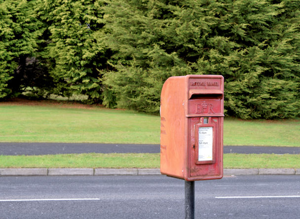
Image: © Albert Bridge Taken: 16 Oct 2014
Post-mounted EIIR postbox (BT16 400) at Old Mill Heights (Old Mill Meadows on the Google map).
Images are licensed for reuse under creativecommons.org/licenses/by-sa/2.0
Image Location
Latitude
54.593167
Longitude
-5.776943