Fordingbridge Infant School
Introduction
The photograph on this page of Fordingbridge Infant School by Mike Faherty as part of the Geograph project.
The Geograph project started in 2005 with the aim of publishing, organising and preserving representative images for every square kilometre of Great Britain, Ireland and the Isle of Man.

There are currently over 7.5m images from over 14,400 individuals and you can help contribute to the project by visiting https://www.geograph.org.uk
Fordingbridge Infant School
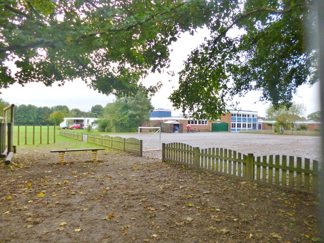
Image: © Mike Faherty Taken: 15 Oct 2014
On Pennys Lane, seen from adjacent Image: http://www.fordingbridge-inf.hants.sch.uk/2372-index/2372-our-school.htm
Images are licensed for reuse under creativecommons.org/licenses/by-sa/2.0
Image Location
Latitude
50.937139
Longitude
-1.791314