Hadrian's Wall Path at Gilsland 1
Introduction
The photograph on this page of Hadrian's Wall Path at Gilsland 1 by Bobby Clegg as part of the Geograph project.
The Geograph project started in 2005 with the aim of publishing, organising and preserving representative images for every square kilometre of Great Britain, Ireland and the Isle of Man.

There are currently over 7.5m images from over 14,400 individuals and you can help contribute to the project by visiting https://www.geograph.org.uk
Hadrian's Wall Path at Gilsland 1
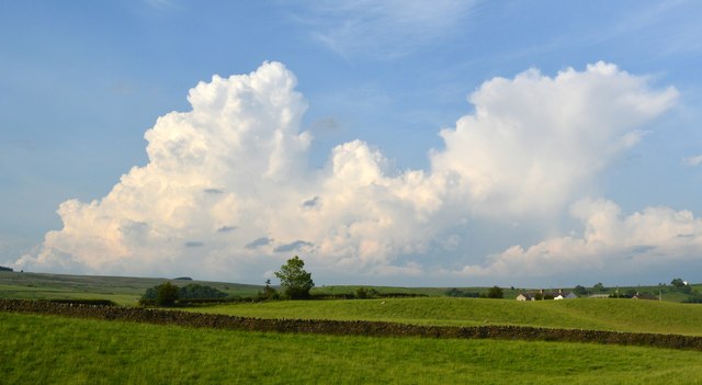
Image: © Bobby Clegg Taken: 18 Jun 2014
These big thunderclouds towering above the landscape look like they could spoil what is left of our hiking day, but they do look spectacular.
Images are licensed for reuse under creativecommons.org/licenses/by-sa/2.0
Image Location
Latitude
54.990267
Longitude
-2.55994