Hadrian's Wall Path at Gilsland
Introduction
The photograph on this page of Hadrian's Wall Path at Gilsland by Bobby Clegg as part of the Geograph project.
The Geograph project started in 2005 with the aim of publishing, organising and preserving representative images for every square kilometre of Great Britain, Ireland and the Isle of Man.

There are currently over 7.5m images from over 14,400 individuals and you can help contribute to the project by visiting https://www.geograph.org.uk
Hadrian's Wall Path at Gilsland
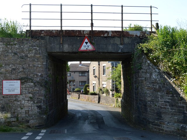
Image: © Bobby Clegg Taken: 18 Jun 2014
This concrete bridge (NEC2-131) carries the Newcastle to Carlisle railway over the B6318 in Gilsland. The B6318 is the longest B road in the UK, measuring 61 miles (100Km.) from Heddon-on-the-Wall to Langholm.
Images are licensed for reuse under creativecommons.org/licenses/by-sa/2.0
Image Location
Latitude
54.990671
Longitude
-2.569635