Mansfield Inner Ring Road
Introduction
The photograph on this page of Mansfield Inner Ring Road by David Dixon as part of the Geograph project.
The Geograph project started in 2005 with the aim of publishing, organising and preserving representative images for every square kilometre of Great Britain, Ireland and the Isle of Man.

There are currently over 7.5m images from over 14,400 individuals and you can help contribute to the project by visiting https://www.geograph.org.uk
Mansfield Inner Ring Road
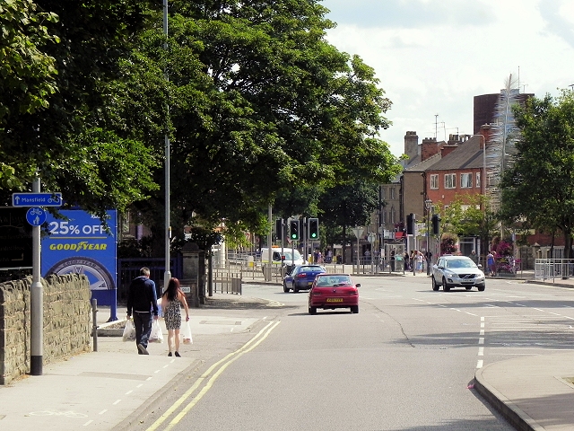
Image: © David Dixon Taken: 4 Aug 2014
The A6191 runs for 5 miles between Mansfield and Rainworth. It follows what was originally the route of the A617 through Mansfield. The road was redesignated to A6191 after the completion of the MARR (Mansfield Ashfield Regeneration Route) to the south of the town, which took over the A617 number in 2004. Just before reaching the town centre, the A6191 mutiplexes with the A6009, otherwise known as the Inner Ring Road. The A6009 is a circular route, avoiding the main business district of Mansfield, Nottinghamshire. It has a 40 mph limit throughout, and is a mixture of single and dual carriageway road. It should not be confused with "The Mansfield Circuit", which is a one way system that lies inside the Inner Ring Road.
Images are licensed for reuse under creativecommons.org/licenses/by-sa/2.0
Image Location
Latitude
53.148134
Longitude
-1.200191