Clydach Lock
Introduction
The photograph on this page of Clydach Lock by Kevin Corcoran as part of the Geograph project.
The Geograph project started in 2005 with the aim of publishing, organising and preserving representative images for every square kilometre of Great Britain, Ireland and the Isle of Man.

There are currently over 7.5m images from over 14,400 individuals and you can help contribute to the project by visiting https://www.geograph.org.uk
Clydach Lock
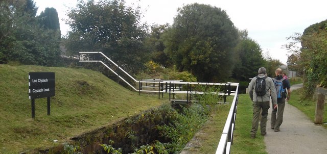
Image: © Kevin Corcoran Taken: 14 Oct 2014
Clydach Lock, part of the Middle Section of the Swansea Canal which was constructed by the Swansea Canal Navigation Company between 1794 and 1798. The canal originally ran for 16.5 miles (26.6 km) from Swansea to Abercraf.
Images are licensed for reuse under creativecommons.org/licenses/by-sa/2.0
Image Location
Latitude
51.696411
Longitude
-3.88903