Lodge house to the Langleys
Introduction
The photograph on this page of Lodge house to the Langleys by Bikeboy as part of the Geograph project.
The Geograph project started in 2005 with the aim of publishing, organising and preserving representative images for every square kilometre of Great Britain, Ireland and the Isle of Man.

There are currently over 7.5m images from over 14,400 individuals and you can help contribute to the project by visiting https://www.geograph.org.uk
Lodge house to the Langleys
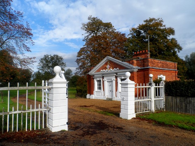
Image: © Bikeboy Taken: 11 Oct 2014
Built around the same time as the house (see http://www.geograph.org.uk/photo/3375546 i.e. around 1719). See http://www.geograph.org.uk/photo/3636021 for an explanation of the coat of arms.
Images are licensed for reuse under creativecommons.org/licenses/by-sa/2.0
Image Location
Latitude
51.793193
Longitude
0.461494