Timber load turning off the A18 near Great Limber
Introduction
The photograph on this page of Timber load turning off the A18 near Great Limber by Chris as part of the Geograph project.
The Geograph project started in 2005 with the aim of publishing, organising and preserving representative images for every square kilometre of Great Britain, Ireland and the Isle of Man.

There are currently over 7.5m images from over 14,400 individuals and you can help contribute to the project by visiting https://www.geograph.org.uk
Timber load turning off the A18 near Great Limber
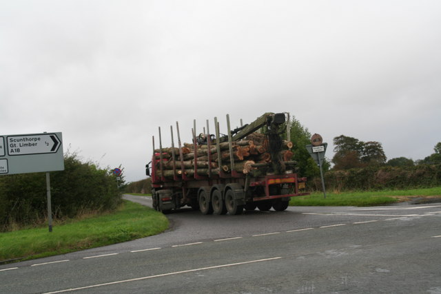
Image: © Chris Taken: 15 Oct 2014
On the edge of the Brocklesby Estate, from which the trees have probably come.
Images are licensed for reuse under creativecommons.org/licenses/by-sa/2.0
Image Location


Leaflet Map data © OpenStreetMap
Latitude
53.563331
Longitude
-0.278907