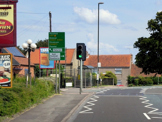
Glapwell
Introduction
The photograph on this page of Glapwell by David Dixon as part of the Geograph project.
The Geograph project started in 2005 with the aim of publishing, organising and preserving representative images for every square kilometre of Great Britain, Ireland and the Isle of Man.
There are currently over 7.5m images from over 14,400 individuals and you can help contribute to the project by visiting https://www.geograph.org.uk

Image: © David Dixon Taken: 4 Aug 2014
Glapwell is a village with a population of approx 1500. It is located either side of the main A617 road between the towns of Chesterfield and Mansfield in north east Derbyshire. The villagel is situated on and on top of a very steep hill adjoining with the next village of Bramley Vale at the bottom. It is listed in the Domesday Book of 1086. Since the closure of Glapwell Colliery in the 1970s, there has no longer been an overall dominant industry in the area.
Image Location


