On the Marnhull to Stalbridge Road
Introduction
The photograph on this page of On the Marnhull to Stalbridge Road by Mike Searle as part of the Geograph project.
The Geograph project started in 2005 with the aim of publishing, organising and preserving representative images for every square kilometre of Great Britain, Ireland and the Isle of Man.

There are currently over 7.5m images from over 14,400 individuals and you can help contribute to the project by visiting https://www.geograph.org.uk
On the Marnhull to Stalbridge Road
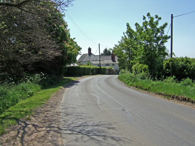
Image: © Mike Searle Taken: 1 May 2007
The view is looking south, and the cottage on the corner is called Cox Hill. This is just to the south of Marnhull.
Images are licensed for reuse under creativecommons.org/licenses/by-sa/2.0
Image Location
Latitude
50.957104
Longitude
-2.325279