Main Street, Carnteel
Introduction
The photograph on this page of Main Street, Carnteel by Kenneth Allen as part of the Geograph project.
The Geograph project started in 2005 with the aim of publishing, organising and preserving representative images for every square kilometre of Great Britain, Ireland and the Isle of Man.

There are currently over 7.5m images from over 14,400 individuals and you can help contribute to the project by visiting https://www.geograph.org.uk
Main Street, Carnteel
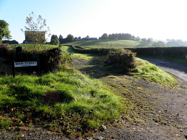
Image: © Kenneth Allen Taken: 14 Oct 2014
Heading east from the B35 It must be the most rural main street that I have ever seen!
Images are licensed for reuse under creativecommons.org/licenses/by-sa/2.0
Image Location
Latitude
54.434446
Longitude
-6.936058