Concrete area
Introduction
The photograph on this page of Concrete area by Hamish Griffin as part of the Geograph project.
The Geograph project started in 2005 with the aim of publishing, organising and preserving representative images for every square kilometre of Great Britain, Ireland and the Isle of Man.

There are currently over 7.5m images from over 14,400 individuals and you can help contribute to the project by visiting https://www.geograph.org.uk
Concrete area
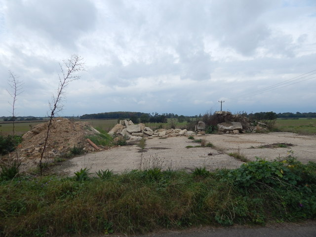
Image: © Hamish Griffin Taken: 4 Oct 2014
Located north of Sherbourne Street built up area. The fields can be seen behind.
Images are licensed for reuse under creativecommons.org/licenses/by-sa/2.0
Image Location


Leaflet Map data © OpenStreetMap
Latitude
52.038297
Longitude
0.846353