Footpath between Turkey Street and Auckland Close, EN1
Introduction
The photograph on this page of Footpath between Turkey Street and Auckland Close, EN1 by Mike Quinn as part of the Geograph project.
The Geograph project started in 2005 with the aim of publishing, organising and preserving representative images for every square kilometre of Great Britain, Ireland and the Isle of Man.

There are currently over 7.5m images from over 14,400 individuals and you can help contribute to the project by visiting https://www.geograph.org.uk
Footpath between Turkey Street and Auckland Close, EN1
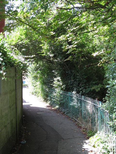
Image: © Mike Quinn Taken: 30 Jul 2014
The Turkey Brook runs to the right of the railings - see Image
Images are licensed for reuse under creativecommons.org/licenses/by-sa/2.0
Image Location


Leaflet Map data © OpenStreetMap
Latitude
51.672104
Longitude
-0.048251