Wellington, Watling Street
Introduction
The photograph on this page of Wellington, Watling Street by Mike Faherty as part of the Geograph project.
The Geograph project started in 2005 with the aim of publishing, organising and preserving representative images for every square kilometre of Great Britain, Ireland and the Isle of Man.

There are currently over 7.5m images from over 14,400 individuals and you can help contribute to the project by visiting https://www.geograph.org.uk
Wellington, Watling Street
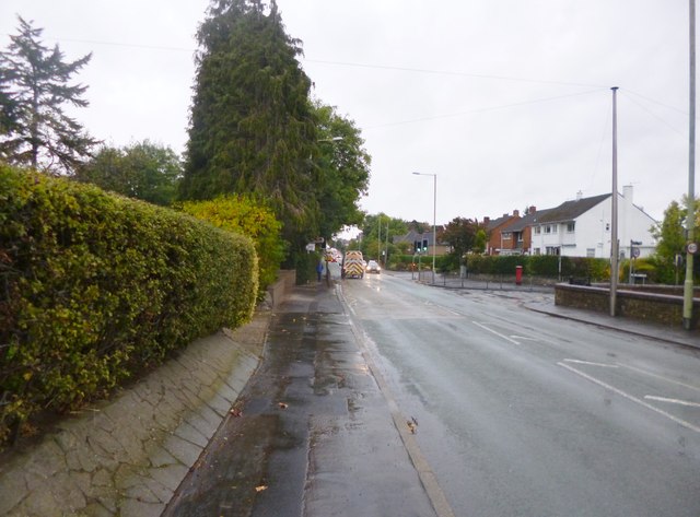
Image: © Mike Faherty Taken: 13 Oct 2014
Formerly A5, this section is now B5061, Holyhead Road, following the course of Roman Watling Street, from Hadrian's Wall to Dover.
Images are licensed for reuse under creativecommons.org/licenses/by-sa/2.0
Image Location
Latitude
52.694287
Longitude
-2.518118