View eastwards across the flood plain of the Annacloy River
Introduction
The photograph on this page of View eastwards across the flood plain of the Annacloy River by Eric Jones as part of the Geograph project.
The Geograph project started in 2005 with the aim of publishing, organising and preserving representative images for every square kilometre of Great Britain, Ireland and the Isle of Man.

There are currently over 7.5m images from over 14,400 individuals and you can help contribute to the project by visiting https://www.geograph.org.uk
View eastwards across the flood plain of the Annacloy River
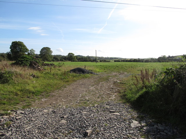
Image: © Eric Jones Taken: 2 Oct 2014
Known in its middle reaches as the Annacloy, this river is better known by its lower reach name of Quoile River.
Images are licensed for reuse under creativecommons.org/licenses/by-sa/2.0
Image Location
Latitude
54.35354
Longitude
-5.782676