The Greensand Way on Lughorse Lane
Introduction
The photograph on this page of The Greensand Way on Lughorse Lane by Marathon as part of the Geograph project.
The Geograph project started in 2005 with the aim of publishing, organising and preserving representative images for every square kilometre of Great Britain, Ireland and the Isle of Man.

There are currently over 7.5m images from over 14,400 individuals and you can help contribute to the project by visiting https://www.geograph.org.uk
The Greensand Way on Lughorse Lane
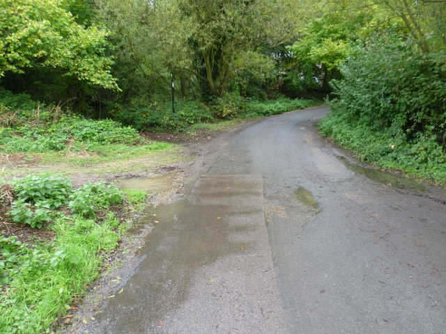
Image: © Marathon Taken: 12 Oct 2014
The Greensand Way is 108 miles long and runs from Haslemere in Surrey to Hamstreet in Kent. This is the section between Yalding and Linton which largely follows the scarp edge of the Greensand Ridge and provides superb views across the Weald. Here it has just left Yalding and follows Lughorse Lane for a short distance before turning up the sunken Lane just ahead on the left - see http://www.geograph.org.uk/photo/4204137
Images are licensed for reuse under creativecommons.org/licenses/by-sa/2.0
Image Location
Latitude
51.227885
Longitude
0.443807