The site of the former Snoops nightclub
Introduction
The photograph on this page of The site of the former Snoops nightclub by John Baker as part of the Geograph project.
The Geograph project started in 2005 with the aim of publishing, organising and preserving representative images for every square kilometre of Great Britain, Ireland and the Isle of Man.

There are currently over 7.5m images from over 14,400 individuals and you can help contribute to the project by visiting https://www.geograph.org.uk
The site of the former Snoops nightclub
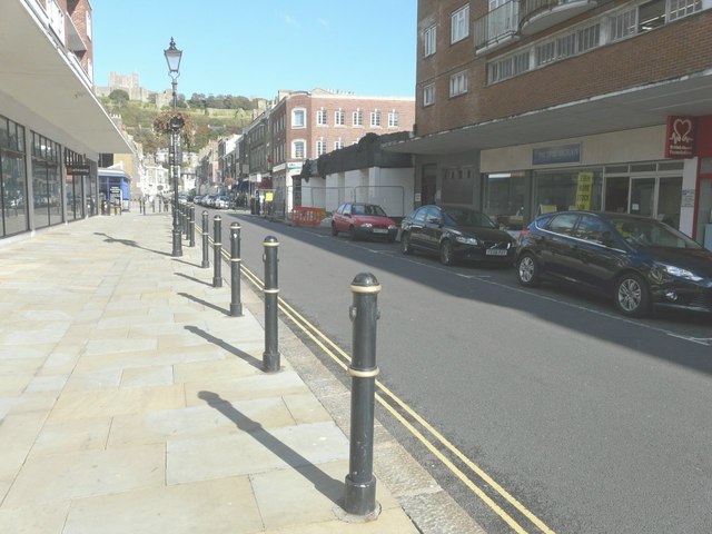
Image: © John Baker Taken: 5 Oct 2014
Now that all the scaffolding has been removed, all that remains is for the site to be cleared of rubble and the ground floor walls. Prior planning permission was required by Dover District Council under application number DOV/14/00779 for the “demolition of building” at 62 Castle Street and the planned date of completion was by 30 September 2014. This is how the building looked on the last day of August 2012 Image
Images are licensed for reuse under creativecommons.org/licenses/by-sa/2.0
Image Location
Latitude
51.125408
Longitude
1.314278