The Yeading Brook in Cutthroat Wood
Introduction
The photograph on this page of The Yeading Brook in Cutthroat Wood by Des Blenkinsopp as part of the Geograph project.
The Geograph project started in 2005 with the aim of publishing, organising and preserving representative images for every square kilometre of Great Britain, Ireland and the Isle of Man.

There are currently over 7.5m images from over 14,400 individuals and you can help contribute to the project by visiting https://www.geograph.org.uk
The Yeading Brook in Cutthroat Wood
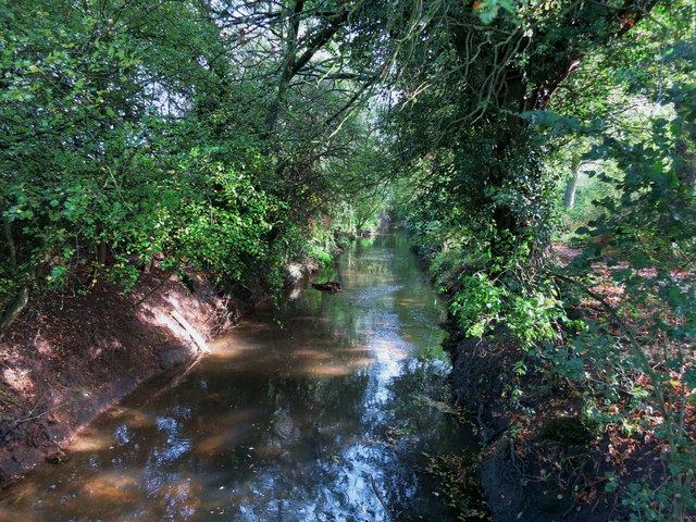
Image: © Des Blenkinsopp Taken: 9 Oct 2014
The Yeading Brook is around 26kms long and forms the upper part of the River Crane catchment. The catchment drains 125 square kilometres of suburban West London before joining the tidal Thames at Isleworth. http://www.cranevalley.org.uk/catchment/catchment-information.html The Hillingdon Trail runs alongside this section.
Images are licensed for reuse under creativecommons.org/licenses/by-sa/2.0
Image Location
Latitude
51.547024
Longitude
-0.432345