Eastern side of a triple hairpin bend, Pen-y-Cae near Bridgend
Introduction
The photograph on this page of Eastern side of a triple hairpin bend, Pen-y-Cae near Bridgend by Jaggery as part of the Geograph project.
The Geograph project started in 2005 with the aim of publishing, organising and preserving representative images for every square kilometre of Great Britain, Ireland and the Isle of Man.

There are currently over 7.5m images from over 14,400 individuals and you can help contribute to the project by visiting https://www.geograph.org.uk
Eastern side of a triple hairpin bend, Pen-y-Cae near Bridgend
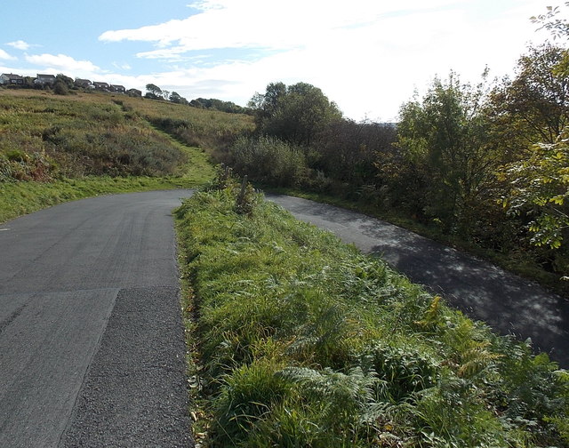
Image: © Jaggery Taken: 10 Oct 2014
On a minor road near Ty-Risha Alehouse. http://www.geograph.org.uk/photo/4203345
Images are licensed for reuse under creativecommons.org/licenses/by-sa/2.0
Image Location
Latitude
51.530359
Longitude
-3.5827