Warren Cottage
Introduction
The photograph on this page of Warren Cottage by Bob Harvey as part of the Geograph project.
The Geograph project started in 2005 with the aim of publishing, organising and preserving representative images for every square kilometre of Great Britain, Ireland and the Isle of Man.

There are currently over 7.5m images from over 14,400 individuals and you can help contribute to the project by visiting https://www.geograph.org.uk
Warren Cottage
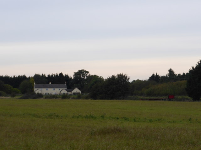
Image: © Bob Harvey Taken: 12 Oct 2014
The land on the south of the road from Little Bytham to South Witham is part of the Ancaster estate, and is very sandy. Before it was commercially extracted it was used as a warren, and this is Warren Cottage.
Images are licensed for reuse under creativecommons.org/licenses/by-sa/2.0
Image Location
Latitude
52.744711
Longitude
-0.477265