Ordnance Survey cut mark stone alongside Staunton Road, Coleford
Introduction
The photograph on this page of Ordnance Survey cut mark stone alongside Staunton Road, Coleford by Jaggery as part of the Geograph project.
The Geograph project started in 2005 with the aim of publishing, organising and preserving representative images for every square kilometre of Great Britain, Ireland and the Isle of Man.

There are currently over 7.5m images from over 14,400 individuals and you can help contribute to the project by visiting https://www.geograph.org.uk
Ordnance Survey cut mark stone alongside Staunton Road, Coleford
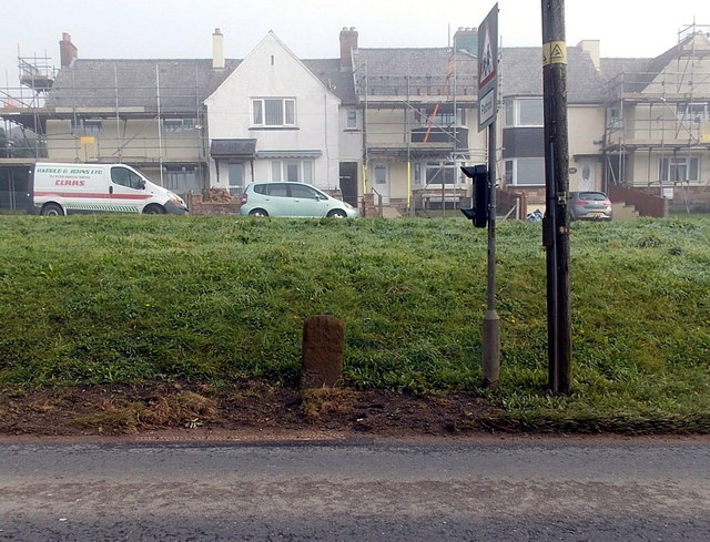
Image: © Jaggery Taken: 12 Oct 2014
The cut mark is a horizontal line above a vertical arrow on the stone. The houses are in Sunnybank Road.
Images are licensed for reuse under creativecommons.org/licenses/by-sa/2.0
Image Location
Latitude
51.797354
Longitude
-2.621311