Junction for Berry Hill, Coleford
Introduction
The photograph on this page of Junction for Berry Hill, Coleford by Jaggery as part of the Geograph project.
The Geograph project started in 2005 with the aim of publishing, organising and preserving representative images for every square kilometre of Great Britain, Ireland and the Isle of Man.

There are currently over 7.5m images from over 14,400 individuals and you can help contribute to the project by visiting https://www.geograph.org.uk
Junction for Berry Hill, Coleford
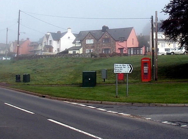
Image: © Jaggery Taken: 12 Oct 2014
Viewed across Staunton Road. The sign pointing right shows 1 (mile) to Berry Hill, 3½ to Symonds Yat and 12 to Ross-on-Wye.
Images are licensed for reuse under creativecommons.org/licenses/by-sa/2.0
Image Location
Latitude
51.796282
Longitude
-2.619847