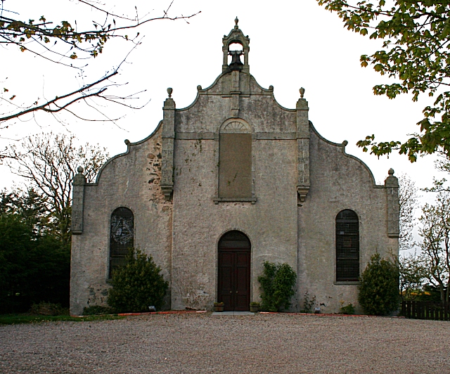
Rathen East Kirk
Introduction
The photograph on this page of Rathen East Kirk by Anne Burgess as part of the Geograph project.
The Geograph project started in 2005 with the aim of publishing, organising and preserving representative images for every square kilometre of Great Britain, Ireland and the Isle of Man.
There are currently over 7.5m images from over 14,400 individuals and you can help contribute to the project by visiting https://www.geograph.org.uk

Image: © Anne Burgess Taken: 1 May 2007
Quite a difference from the same place just two months earlier Image The ivy shown in the earlier image has been removed, and the building has a rather desolate air about it, perhaps partly because of the dull weather in this later image. There are signs at both ends of the road indicating that it is Rathen East Kirk, but it is not clear whether it is still in use, as there is no matching sign at the gate.

