Path by Roses Farm
Introduction
The photograph on this page of Path by Roses Farm by Derek Harper as part of the Geograph project.
The Geograph project started in 2005 with the aim of publishing, organising and preserving representative images for every square kilometre of Great Britain, Ireland and the Isle of Man.

There are currently over 7.5m images from over 14,400 individuals and you can help contribute to the project by visiting https://www.geograph.org.uk
Path by Roses Farm
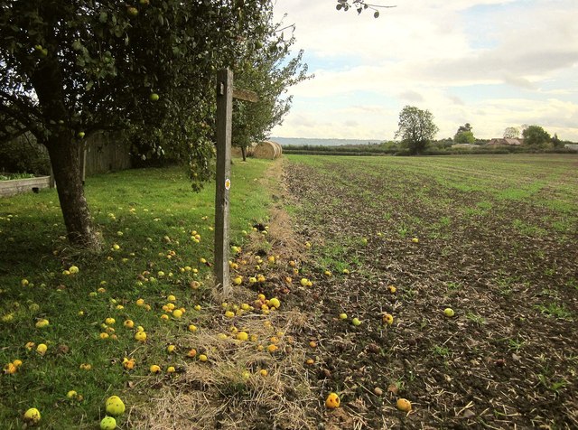
Image: © Derek Harper Taken: 11 Oct 2014
Windfalls by the farm as Colston Bassett FP9 heads diagonally across the field towards The House on the Hill.
Images are licensed for reuse under creativecommons.org/licenses/by-sa/2.0
Image Location
Latitude
52.870848
Longitude
-0.940702