Meadows
Introduction
The photograph on this page of Meadows by Anne Burgess as part of the Geograph project.
The Geograph project started in 2005 with the aim of publishing, organising and preserving representative images for every square kilometre of Great Britain, Ireland and the Isle of Man.

There are currently over 7.5m images from over 14,400 individuals and you can help contribute to the project by visiting https://www.geograph.org.uk
Meadows
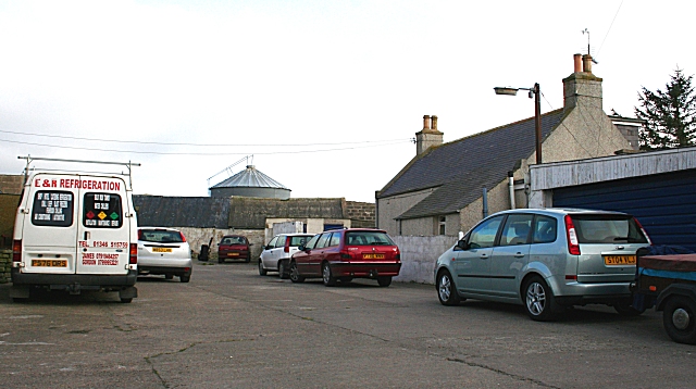
Image: © Anne Burgess Taken: 1 May 2007
Judging by the farm yard, the Meadows is a busy place. The outbuildings have signs saying they house pigs. Shortly before I arrived, a paraglider landed in an adjacent field, and a trailer loaded with kayaks turned out of the gate as I turned in.
Images are licensed for reuse under creativecommons.org/licenses/by-sa/2.0
Image Location


Leaflet Map data © OpenStreetMap
Latitude
57.646647
Longitude
-1.938001