Woodhead
Introduction
The photograph on this page of Woodhead by Anne Burgess as part of the Geograph project.
The Geograph project started in 2005 with the aim of publishing, organising and preserving representative images for every square kilometre of Great Britain, Ireland and the Isle of Man.

There are currently over 7.5m images from over 14,400 individuals and you can help contribute to the project by visiting https://www.geograph.org.uk
Woodhead
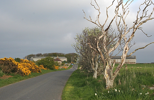
Image: © Anne Burgess Taken: 1 May 2007
A dead tree partly screens the large barn opposite Woodhead. The sky is obscured by a typical east coast haar which is creeping back inland after being held off by the sun during the heat of the day.
Images are licensed for reuse under creativecommons.org/licenses/by-sa/2.0
Image Location


Leaflet Map data © OpenStreetMap
Latitude
57.647092
Longitude
-1.929457