Roosdyche
Introduction
The photograph on this page of Roosdyche by Dave Dunford as part of the Geograph project.
The Geograph project started in 2005 with the aim of publishing, organising and preserving representative images for every square kilometre of Great Britain, Ireland and the Isle of Man.

There are currently over 7.5m images from over 14,400 individuals and you can help contribute to the project by visiting https://www.geograph.org.uk
Roosdyche
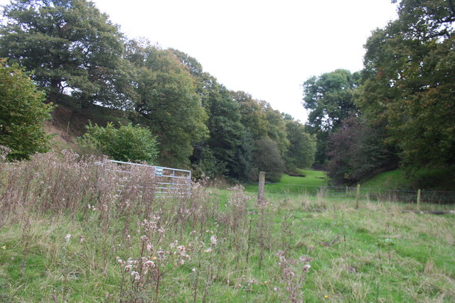
Image: © Dave Dunford Taken: 2 Oct 2014
This curious flat-bottomed valley on the hillside above Whaley Bridge, some 750 metres in length, has attracted various explanations. Suggestions that it was a Roman chariot course have been dismissed, with studies in the 1960s suggesting a natural glacial origin. More recent excavations have tentatively suggested Iron Age occupation. It is crossed by footpaths at its northern and southern ends, but the valley itself is private.
Images are licensed for reuse under creativecommons.org/licenses/by-sa/2.0
Image Location
Latitude
53.330052
Longitude
-1.977288