Nos 720/728 Upper Newtownards Road, Dundonald - October 2014(2)
Introduction
The photograph on this page of Nos 720/728 Upper Newtownards Road, Dundonald - October 2014(2) by Albert Bridge as part of the Geograph project.
The Geograph project started in 2005 with the aim of publishing, organising and preserving representative images for every square kilometre of Great Britain, Ireland and the Isle of Man.

There are currently over 7.5m images from over 14,400 individuals and you can help contribute to the project by visiting https://www.geograph.org.uk
Nos 720/728 Upper Newtownards Road, Dundonald - October 2014(2)
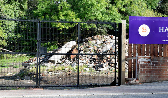
Image: © Albert Bridge Taken: 11 Oct 2014
Part of the vacant site (facing the Upper Newtownards Road) with a pile of rubble from the houses which once stood there.
Images are licensed for reuse under creativecommons.org/licenses/by-sa/2.0
Image Location
Latitude
54.594884
Longitude
-5.807024