Splash Lane End Cottage, Brierley Green
Introduction
The photograph on this page of Splash Lane End Cottage, Brierley Green by Dave Dunford as part of the Geograph project.
The Geograph project started in 2005 with the aim of publishing, organising and preserving representative images for every square kilometre of Great Britain, Ireland and the Isle of Man.

There are currently over 7.5m images from over 14,400 individuals and you can help contribute to the project by visiting https://www.geograph.org.uk
Splash Lane End Cottage, Brierley Green
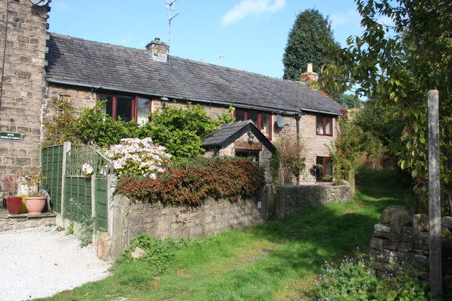
Image: © Dave Dunford Taken: 2 Oct 2014
Presumably the footpath beyond is Splash Lane, though it's not marked as such on modern maps. It leads up to Cote Bank Farm.
Images are licensed for reuse under creativecommons.org/licenses/by-sa/2.0
Image Location
Latitude
53.338228
Longitude
-1.962716